
Energy Industry Applications of GIS
Credit: Stormast by Inactive account 127071 is licensed under CC0
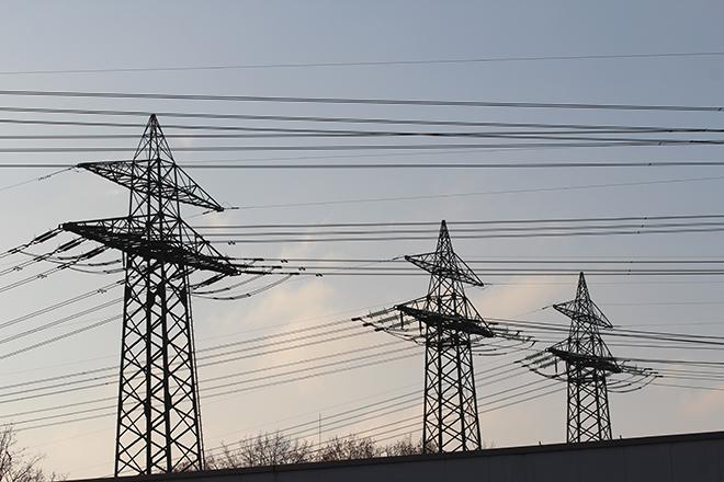
Resource Description
Is Energy and GIS your passion? If so, Energy Industry Applications of GIS provides students with an in-depth exploration of the complexities of siting decisions in the electricity market. The course introduces a variety of siting challenges that confront the energy industry and its customers and neighbors but focuses on the siting of electrical transmission lines. The course also provides hands-on experience with a common decision support technology, ArcGIS, and considers how the technology may be used to facilitate public participation in siting decisions. This course stopped being offered for credit and may be out of date or have broken links after May 2019. Learn moreGIS Programming and Software Development

Credit: High Angle View of Residential Buildings by Palo Cech is free to use
Resource Description
Bill Gates is credited with saying he would "hire a lazy person to do a difficult job" with the justification that "a lazy person will find an easy way to do it." GEOG 485 doesn't teach the lazy way to get the job done, but it does teach the scripting way — which is arguably even better. You've probably heard the "give a fish"/"teach to fish" saying? That's the gist of GEOG 485: to equip you, in an ArcGIS context, with the ModelBuilder and Python scripting skills to make your boring, repetitive geoprocessing tasks easier, quicker and automatic — so you can focus on the more interesting (potentially more valuable) work that you (and your employers) really want you to be doing. Learn moreSpatial Data Science for Emergency Management

Credit: Helicopter Help First Aide by ThePixelman is licensed under CC0
Resource Description
Geospatial perspectives and technologies play a major role in planning for and responding to emergencies. Geospatial tools - from aerial mapping techniques to data acquisition, are changing rapidly as is emergency management as the frequency and magnitude of crises and disasters are increasing. This course provides an understanding of how geospatial perspectives and technologies support all stages of emergency management activities, from small scale emergency management efforts to large scale disaster/humanitarian efforts. This includes learning about commonly used and emerging geospatial tools. It also includes an exploration of advancements in data collection, processing and analysis capabilities, such as unmanned aerial systems, geospatial artificial intelligence, volunteered geographic information, social media, and many more. Learn moreWeb Application Development for the Geospatial Professional

Credit: Ipad, Map, Tablet, Internet, Screen by FirmBee is licensed under CC0