
Differential Calculus: From Practice to Theory

Credit: Cover of "Differential Calculus: From Practice to Theory" textbook, adapted from a work by Crockett Johnson, used with permission
Resource Description
Differential Calculus: From Practice to Theory covers all of the topics in a typical first course in differential calculus. Initially it focuses on using calculus as a problem solving tool (in conjunction with analytic geometry and trigonometry) by exploiting an informal understanding of differentials (infinitesimals). As much as possible large, interesting, and important historical problems (the motion of falling bodies and trajectories, the shape of hanging chains, the Witch of Agnesi) are used to develop key ideas. Only after skill with the computational tools of calculus has been developed is the question of rigor seriously broached. At that point, the foundational ideas (limits, continuity) are developed to replace infinitesimals, first intuitively then rigorously. This approach is more historically accurate than the usual development of calculus and, more importantly, it is pedagogically sound.
Learn moreGIS Analysis and Design

Credit: Architectural, design, architecture buildings 425053 by Juhasz Imre is licenced under CC0
Resource Description
Geography 468 provides the geospatial information system professional an overview of systems analysis and design with emphasis on the concepts behind the process, including: business use case modeling, business object modeling, requirements definition, analysis and preliminary design, and, finally, detailed design. The concepts of the geospatial software and database development process are introduced and the current modeling techniques are addressed within the geospatial systems development paradigm. In a series of related activities, students learn about the methods, tools, and concepts of the systems development process to document a portion of a geospatial system with Unified Modeling Language (UML), the standard graphical notation for modeling application needs. Learn moreMaking Maps that Matter with GIS
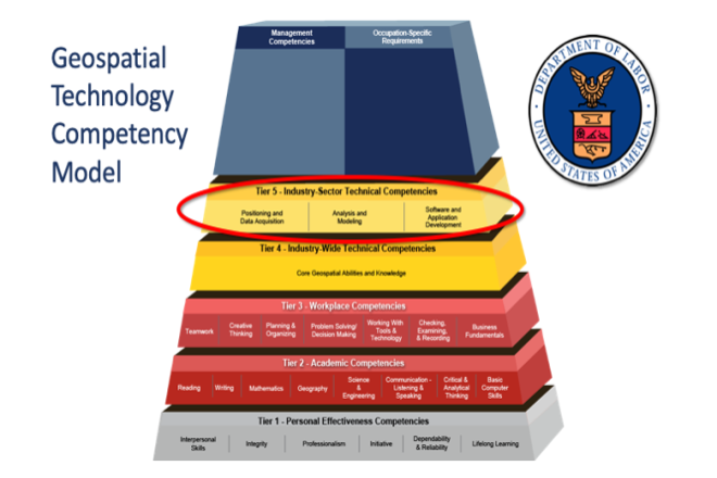
Credit: US Department of Labor Employment & Training Administration - Used with Permission
Resource Description
This open courseware consists of eight videos from the gateway course to Penn State's Certificate and Masters degree programs in GIS. Following an introduction entitled “Why GIS Matters," six case studies correspond to the three sectors of the U.S. Department of Labor’s Geospatial Technology Industry: 1. Positioning and Data Acquisition (“GIS and the Eradication of Polio in Nigeria” and "A Global Geodetic Reference Frame for Sustainable Development”) 2. Analysis and Modeling (“Everyday Spatial Analysis” and “A National Water Model for Flood Prediction and Response”) 3. Software and App Development (“Rediscovering GIS” and “Building a Web GIS Business) The concluding video "Will GIS Matter in the Internet of Things?” considers the future of GIS technology and prospects for GIS people. Making Maps that Matter with GIS Video Playlist Learn moreThe Nature of Geographic Information
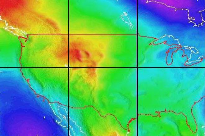
Credit: National Geodetic Survey
Resource Description
The Nature of Geographic Information is an orientation to the properties of geographic data and the practice of distance learning. The purpose of this course is to promote an understanding of the Geographic Information Science and Technology (GIS&T) enterprise. GIS&T is the intersection of professions, institutions, and technologies that produce geographic data and render information from it. It is a rapidly growing and evolving field. Learning is a way of life for all GIS&T professionals. With this in mind, I hope that this text may contribute to your lifelong exploration of how geospatial technologies can be used to improve the quality of life—yours and your neighbors', locally and globally, now and in the future.
This course is no longer being offered for credit and has not been updated since 2017.
Learn more