
Mapping our Changing World
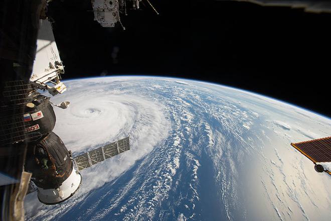
Credit: Space Station Flyover of Super Typhoon Noru by NASA is Public Domain
Resource Description
Whether you realize it or not, when you carry a smart phone, use a navigation system in your car, or look up the nearest coffee shop on your computer, you are using geographic information. Geographic data and technologies are embedded in almost all aspects of our lives. GEOG 160, Mapping Our Changing World, explores what geographic information and data are, what makes them unique, how they are created, and how we use them. You'll explore how geographic technologies like geographic information systems (GIS), remote sensing from satellites, and global positioning systems (GPS) work together to provide us with information we rely on. You'll also become an informed consumer of the geographic content in your life. Learn moreMaps and the Geospatial Revolution
Credit: A. Robinson © Penn State University is licensed under CC BY-NC-SA 4.0
Resource Description
The past decade has seen an explosion of new mechanisms for understanding and using location information in widely-accessible technologies. This Geospatial Revolution has resulted in the development of consumer GPS tools, interactive web maps, and location-aware mobile devices. This course brings together core concepts in cartography, geographic information systems, and spatial thinking with real-world examples to provide the fundamentals necessary to engage with Geographic Information Science. We explore what makes spatial information special, how spatial data is created, how spatial analysis is conducted, and how to design maps so that they're effective at telling the stories we wish to share. To gain experience using this knowledge, we work with the latest mapping and analysis software to explore geographic problems. Learn moreOpen Web Mapping

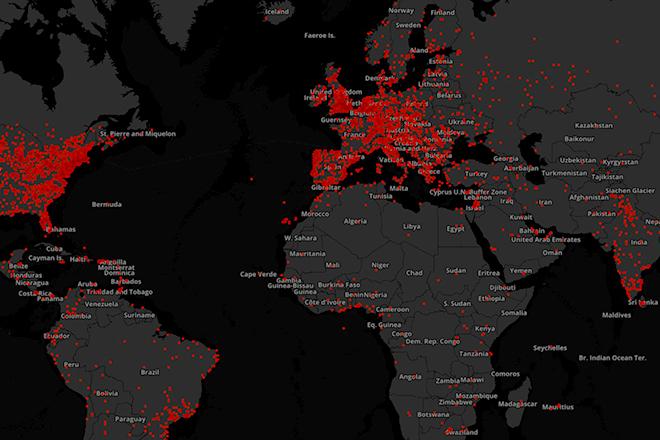
Credit: The Activities of Africa by Mariusz Prusaczyk is licensed under CC0
Resource Description
Everyone can make a web map now, but what are the best tools to do so? Maybe you have already created web maps with ArcGIS or Google Maps but never taken time to have a closer look at open source software alternatives such as QGIS, GeoServer and Leaflet? Or, are you new to web mapping and looking for the best way to create a web application for spatial data from your job or hobby? If so, GEOG 585, Open Web Mapping, is the right course for you. Learn about FOSS vs. proprietary GIS software, open data and standards for web mapping, and how to create beautiful and interactive web maps with Javascript and Leaflet. Learn moreSpatial Database Management
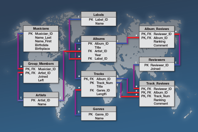
Credit: © Penn State University is licensed under CC BY-NC-SA 4.0
Resource Description
A spatial database is the backbone of a successful organization or website that depends upon maintaining and using data pertinent to locations on Earth. In GEOG 868, Spatial Database Management, capabilities specific to Relational Database Management Systems (RDBMS) and Geographic Information Systems (GIS) are combined to teach students to create, maintain, and query spatial databases in both desktop and enterprise environments. Learn the basics of Standard Query Language (SQL) and database design/normalization, the specifics of managing spatial data in an open-source technologies context (Postgres/PostGIS) and in the context of the Esri geodatabase. Along the way, you will become familiar with spatial functions and versioning, the latter in a server environment hosted by Amazon Web Services. Learn moreUnmanned Aerial Systems

Credit: Photo by JESHOOTS.COM is licensed under CC0