Geodesign History, Theory, Principles

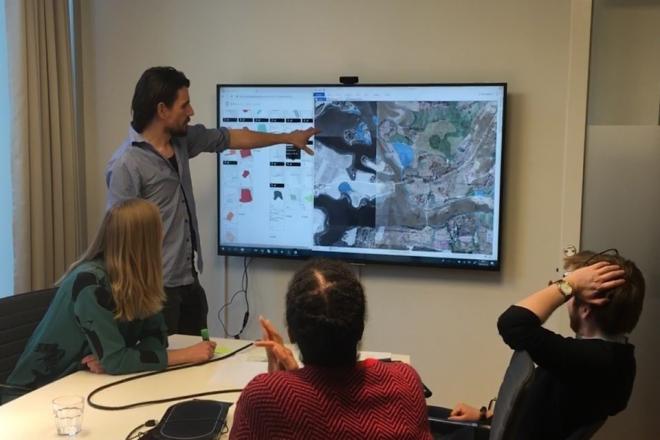
Photo credit: Filip Linders, MSF/Doctors Without Borders/Swedish Innovation Unit (used with permission)
Resource Description
Do you believe that we can be more creative in planning our communities and protecting environments for a sustainable future? Would you like to learn a method to make a difference? One that empowers stakeholders and reduces conflict? Geodesign delivers creative solutions for environmental, economic, and social issues. This method works collaboratively across disciplines, deploying innovative technology to dynamically illustrate the impacts of alternative design scenarios. Geodesign is rooted in the physical design professions coupled with social and geographic sciences and enhanced by the latest technologies. GEODZ 511 introduces students to the multifaceted, well-proven geodesign framework grounded in a series of key decision-making steps. It emphasizes understanding both people and place through a unique collaborative method. Students learn how to work through the steps of the geodesign framework and begin to understand the process needed to make wise choices for today’s urban and rural design and planning challenges.
Learn moreMaps and the Geospatial Revolution

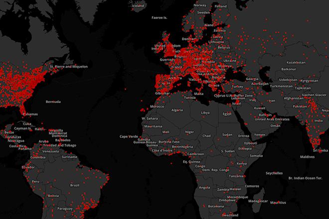
Credit: A. Robinson © Penn State University is licensed under CC BY-NC-SA 4.0
