
Cartography and Visualization
Resource Description
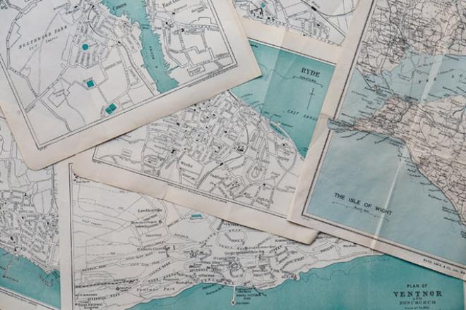
Maps are powerful visual tools, both for communicating ideas and for facilitating data exploration. In GEOG 486: Cartography and Visualization, you will learn design principles and techniques for creating maps with contemporary mapping tools, including ArcGIS Pro. In this lab-focused course, you’ll apply cartographic theory to practical problems, with a focus on design decisions such as selecting visual variables, classifying and generalizing data, applying principles of color and contrast, and choosing projections for maps. You will also be introduced to future-focused application topics such as augmented and virtual reality, mapping with multivariate glyphs, the visual depiction of uncertainty, interactive geovisualizations and (geo)visual analytics, and decision-making with maps and mapping products. Successful completion of this course will signify mastery in map production for communication and research; you will be practiced in making, analyzing, critiquing, and sharing high-quality maps. Learn moreMapping our Changing World

Credit: Space Station Flyover of Super Typhoon Noru by NASA is Public Domain
Resource Description
Whether you realize it or not, when you carry a smart phone, use a navigation system in your car, or look up the nearest coffee shop on your computer, you are using geographic information. Geographic data and technologies are embedded in almost all aspects of our lives. GEOG 160, Mapping Our Changing World, explores what geographic information and data are, what makes them unique, how they are created, and how we use them. You'll explore how geographic technologies like geographic information systems (GIS), remote sensing from satellites, and global positioning systems (GPS) work together to provide us with information we rely on. You'll also become an informed consumer of the geographic content in your life. Learn moreUnmanned Aerial Systems

Credit: Photo by JESHOOTS.COM is licensed under CC0