
Environmental Challenges in Spatial Data Science
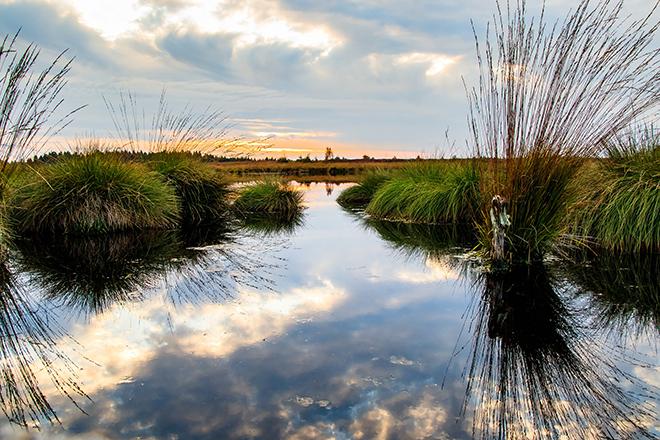
Credit: Moor Swamp Landscape Nature Nature Reserve by herbert2512 is licensed under CC0
Resource Description
Increasingly volatile climate and weather; vulnerable drinking water supplies; shrinking wildlife habitats; widespread deforestation due to energy and food production. These are examples of environmental challenges that are of critical importance in our world, both in far away places and close to home, and are particularly well suited to inquiry using geographic information systems. In GEOG 487 you will explore topics like these and learn about data and spatial analysis techniques commonly employed in environmental applications. After taking this course you will be equipped with relevant analytical approaches and tools that you can readily apply to your own environmental contexts. Learn moreExploring Imagery and Elevation Data in GIS Applications
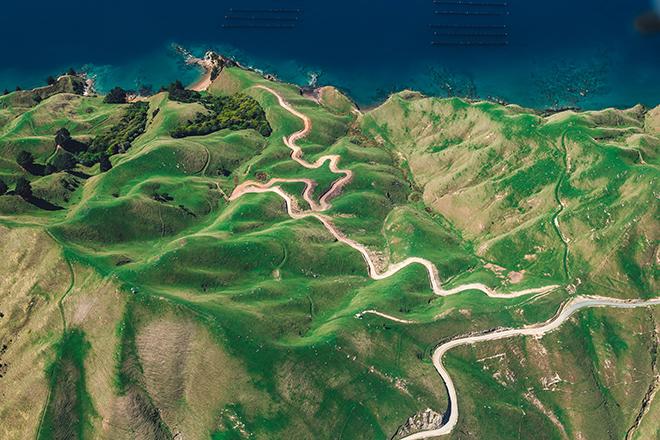
Credit: D'Urville Island, New Zealand by Alex Siale is free to use
Resource Description
“Exploring Imagery and Elevation Data in GIS Applications” (GEOG 480) focuses on the use of remotely sensed imagery and elevation data in GIS applications. Students enrolling in GEOG 480 should have a solid conceptual foundation in geospatial information science and technology. GEOG 480 is appropriate for those who are already working in the geospatial profession and wish to use imagery and elevation data in visualization and spatial analysis. Throughout the course, students confront realistic remote sensing problem scenarios that incorporate such skills and concepts as definition of data needs, metadata content standards, data formats and types, and analysis methods. Learn moreGeospatial Intelligence and the Geospatial Revolution
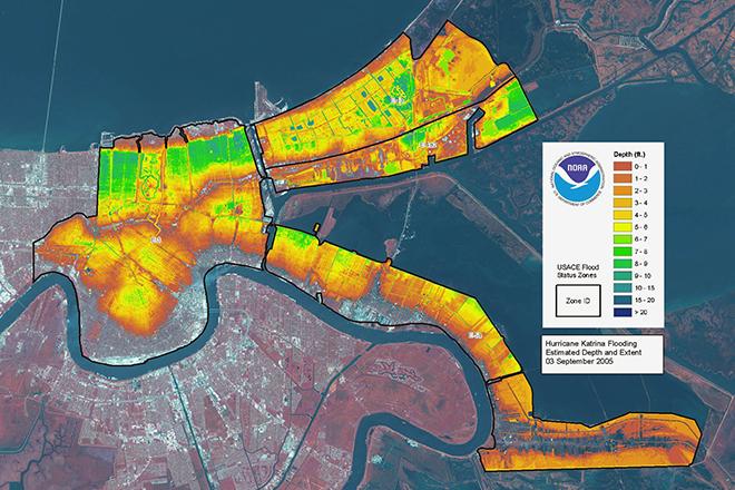
Credit: LIDAR map of New Orleans flooding caused by Hurricane Katrina, 3 September 2005 from ESA/NOAA is licensed under CC BY-SA 3.0 IGO
Resource Description
Geographic Intelligence (GEOINT) is more than people working with computers in a secure intelligence facility. Join us for this exciting journey to learn about GEOINT's application in business, law enforcement, and defense. Advances in satellites, GPS, unmanned aerial systems, wireless communications, handheld computing, and the ability to automate laborious map analysis processes has transformed what used to be called geographic intelligence, or GEOINT, and the nature of the insights provided to managers and leaders. We have gone from mountains of hardcopy maps to amazing automated systems that provide previously unavailable understanding. GEOINT combines geographic information science and technologies with an analytic tradecraft. You will experience the value of GEOINT. We welcome you to the Revolution. Learn moreIntroductory Meteorology
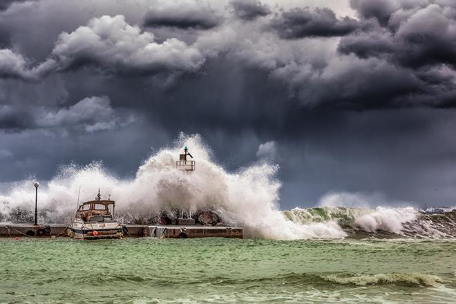
Credit: Big Waves Under Cloudy Sky by GEORGE DESIPRIS is free to use
Resource Description
Benjamin Franklin is credited with saying, “Some people are weatherwise, but most are otherwise.” Ol’ Ben understood that weather can have a great effect on our everyday lives, and he knew the importance of having an understanding of what makes the atmosphere work (and not just knowing when it’s safe to fly a kite). In METEO 3, we will examine all aspects of the weather. You’ll learn the fundamental processes that drive the atmosphere, along with some of the tools we use to measure those processes. You’ll also learn about large-scale weather systems, severe convection, tropical weather, and climate change. As a result, you’ll be a better consumer of weather information and forecasts. So… do you want to be weatherwise? Learn moreMapping our Changing World
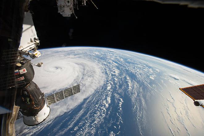
Credit: Space Station Flyover of Super Typhoon Noru by NASA is Public Domain
Resource Description
Whether you realize it or not, when you carry a smart phone, use a navigation system in your car, or look up the nearest coffee shop on your computer, you are using geographic information. Geographic data and technologies are embedded in almost all aspects of our lives. GEOG 160, Mapping Our Changing World, explores what geographic information and data are, what makes them unique, how they are created, and how we use them. You'll explore how geographic technologies like geographic information systems (GIS), remote sensing from satellites, and global positioning systems (GPS) work together to provide us with information we rely on. You'll also become an informed consumer of the geographic content in your life. Learn moreThe Nature of Geographic Information
Credit: National Geodetic Survey
Resource Description
The Nature of Geographic Information is an orientation to the properties of geographic data and the practice of distance learning. The purpose of this course is to promote an understanding of the Geographic Information Science and Technology (GIS&T) enterprise. GIS&T is the intersection of professions, institutions, and technologies that produce geographic data and render information from it. It is a rapidly growing and evolving field. Learning is a way of life for all GIS&T professionals. With this in mind, I hope that this text may contribute to your lifelong exploration of how geospatial technologies can be used to improve the quality of life—yours and your neighbors', locally and globally, now and in the future.
This course is no longer being offered for credit and has not been updated since 2017.
Learn moreUnmanned Aerial Systems
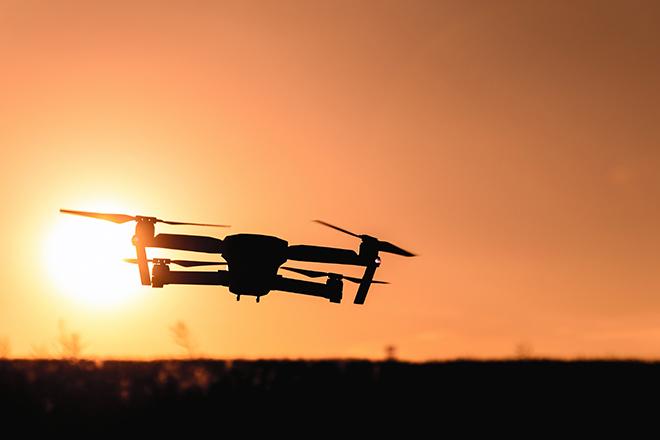
Credit: Photo by JESHOOTS.COM is licensed under CC0